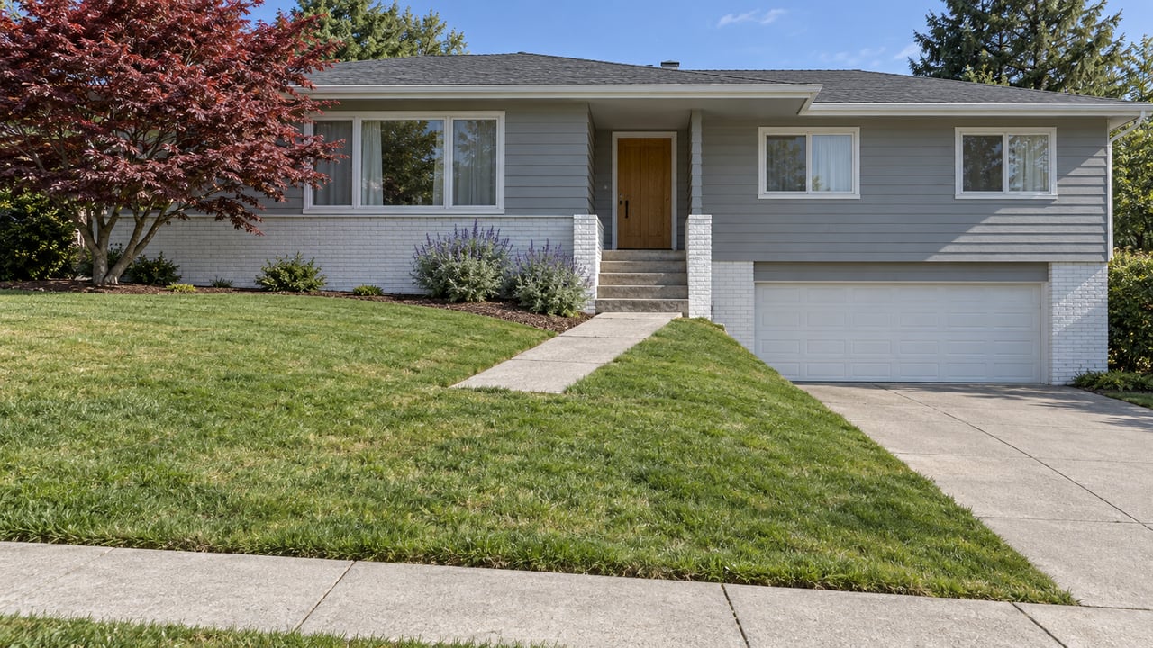
At the dead end of Los Vientos Way, where the pavement gives out and the hillside starts, there's a metal pipe gate with a narrow pedestrian stile cut into it. It replaced a chain link fence that had blocked the spot for years. Walk through it and you're on the Dusky-footed Woodrat Trail, inside the 366-acre Pulgas Ridge Open Space Preserve, with six miles of trail and a ridge line that looks out over the bay.
It took more than a decade to open that gate. And when the Midpeninsula Regional Open Space District finally approved it, the project came with a detail that tells you more about how this actually works than the ribbon-cutting does: no new parking. Not a few spaces, not a gravel pullout. Zero.
That single decision is the real story here, and it's worth understanding before you assume this changes anything about your own weekend hiking routine.
What the city actually approved
The mechanics were narrow by design. San Carlos City Council passed a resolution in September 2023 finding that pedestrian use of a one-foot access strip at the end of Los Vientos Way was consistent with an existing easement. The Midpeninsula Regional Open Space District board approved public access there at its February 14, 2024 meeting, as Redwood City Pulse reported. The project itself, according to the district's own environmental filing, was minor: swap the old chain link fence for a standard pipe gate and pedestrian entrance stile, add bike racks and signage, and connect to a trail already running through that stretch of hillside. District staff told Redwood City Pulse the gate would likely open by March or April that year.
What the filing does not include is parking. The district's own project description states plainly that no new on-street or off-street parking would be added.
Why it took this long
The first version of this idea surfaced back in 2011, but it died after nearby residents raised concerns about traffic, noise, and dogs. When the plan resurfaced in 2023, those same worries came right back.
Redwood City Pulse quoted a resident telling the district board, "If the Los Vientos Way trailhead were proposed alongside my residence, I would be very upset, so I want to advocate for my neighbors."
Lucy Dobson, another resident, pushed the board to think through the parking problem and the dog waste that would likely follow if it wasn't managed. Priyanka Parekh, who lives in the neighborhood, said she'd actually use the new opening if it were built, but worried about where cars would go and suggested routing overflow parking to the busier Crestview Drive instead of her own street.
The district's board secretary, Curt Riffle, put the timeline in blunt terms when the vote finally came up: he'd waited more than a decade to get back to the issue at all.
The no-parking clause leaves the new pedestrian entrance especially useful to hikers who live within walking distance.
Who this actually helps
If you already live on or near Los Vientos Way, Best Court, or the stretch of Crestview Drive closest to that hillside pocket, this is a genuine upgrade. You now have a legal, signed pedestrian connection straight into the preserve's interior trail network, reachable on foot, no driving required. That's the kind of thing that quietly changes how often you use a piece of open space fifteen minutes from your own house versus a fifteen-minute drive away.
If you live anywhere else in San Carlos, functionally nothing changed. You're still driving to the original entrance on Edmonds Road, off Edgewood Road near the Crestview Drive turnoff, where the preserve's only designated parking area holds 23 spaces plus 2 ADA spots. That lot fills early on weekends and holidays, a pattern trail users have flagged for years. The new gate doesn't add a single space to that count, and it wasn't built to.
For everyone in that second group, the practical trailheads worth knowing about are the same ones locals have always used:
- Edmonds Road — the original Pulgas Ridge entrance, with the only official parking lot serving the preserve
- Big Canyon Park — hillside trails accessible directly from the west-side neighborhoods without a drive
- Eaton Park, reached from a trailhead at the top of Eaton Avenue, with additional street parking on Loma Road
- Arguello Park, off Wellington Drive, which pairs a playground and baseball field with a smaller network of hillside trails
- Crestview Park, which isn't a trailhead but recently added pickleball courts during a three-week project that started in October 2023, and sits close enough to the Edmonds Road lot to make it part of the same trip
The off-leash question, answered separately
Dog owners asking whether the new gate changes anything about off-leash access can set that worry aside. Pulgas Ridge's designated off-leash zone, a 17.5-acre area in the center of the preserve, is reached from the Cordilleras Trail, the Polly Geraci and Hassler Trails, or the Blue Oak Trail, regardless of which entrance you walk in from. Inside that zone, dogs can run free as long as you're carrying a leash and keeping voice control. Everywhere else in the preserve, including the connector from Los Vientos Way, dogs stay leashed. San Carlos also maintains its own dedicated off-leash spot, the Heather Dog Exercise Area, which is a separate destination entirely from anything inside Pulgas Ridge and worth knowing about if you want off-leash time without the drive to the preserve at all.
One more preserve-wide rule that surprises first-time visitors: no bikes, anywhere in Pulgas Ridge, including through the new gate. If you're looking for singletrack on two wheels, that's a Waterdog Lake trip in Belmont, not this one.
What this is really telling you about the neighborhood
The Los Vientos Way entrance adds a pedestrian connection to the preserve without adding parking. That detail can matter to someone choosing a street to live on. A house on a cul-de-sac backing up to preserve land has a different relationship with the preserve than a house a mile away that still has to drive to the Edmonds Road lot for parking.
That's the level of detail I track for clients looking at San Carlos, not because it shows up in a market report, but because it's the texture that tells you what daily life actually looks like on a specific block, not just a specific city.
If you're weighing a move to a hillside street near Pulgas Ridge, Edgewood, or any of San Carlos's other pocket neighborhoods, and you want someone who can tell you what's actually walkable from a given address versus what only looks that way on a map, Bob Bredel has spent two decades paying attention to exactly this kind of thing. Call Bob.
This article is general information, not legal, tax or financial advice. Consult a qualified professional about your situation.